

The Viewpoint
Trégastel


About
If you climb to the viewpoint, you can enjoy a magnificent panoramic view of the coast and the surrounding area. On the hill, you will also notice an old viewpoint indicator in very good condition. The remnants of a German radar station dating from the Second World War are buried below.


Warning: Undefined array key 134 in /var/www/html/db.php on line 116
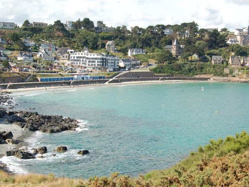

Trestrignel beach & Pointe du Château headland
Perros-Guirec
This rocky outcrop, which marks the entrance to the natural harbour of Perros-Guirec, long played the role of strategic defensive outpost against enemy attacks. Since then, the area has changed...  See
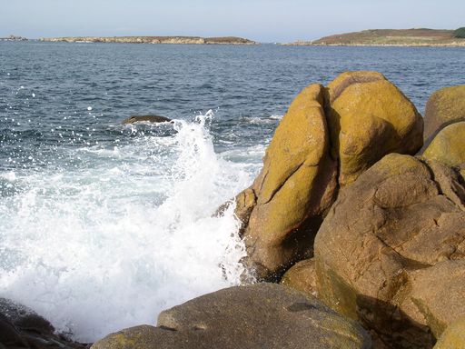

Bringwiller
Pleumeur-Bodou
Covering 30 hectares, the coastline is of great botanical, scenic and cultural value. The department of the Conseil Général (local authorities) responsible for natural sites has introduced Camargue... See
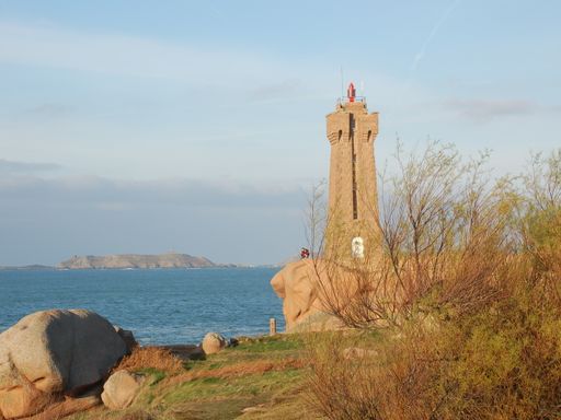

Ploumanac‘h lighthouse and rocks
Perros-Guirec
The pink granite lighthouse stands in the middle of the chaotic rock formations formed by the erosion of cooled magma then shaped by the rain, salty sea spray and wind. Its name, "phare de Mean Ruz",... See
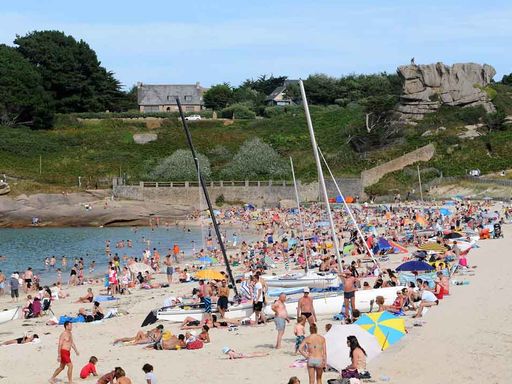
Grève Blanche beach
Trégastel
The tombolo of sand which links the coast to Île aux Lapins marks the boundary between the coarse, pink sand of Grève Rose beach to the west and the fine, white sand of Grève Blanche beach to the... See
Warning: Undefined property: stdClass::$nom in /var/www/html/db.php on line 189
Warning: Undefined property: stdClass::$nom in /var/www/html/db.php on line 189
Warning: Undefined property: stdClass::$nom in /var/www/html/db.php on line 189
Warning: Undefined property: stdClass::$nom in /var/www/html/db.php on line 189
Warning: Undefined property: stdClass::$nom in /var/www/html/db.php on line 189
Warning: Undefined property: stdClass::$nom in /var/www/html/db.php on line 189
Warning: Undefined property: stdClass::$nom in /var/www/html/db.php on line 189
Warning: Undefined property: stdClass::$nom in /var/www/html/db.php on line 189
Warning: Undefined property: stdClass::$nom in /var/www/html/db.php on line 189